HOHE TAUERN PANORAMA TRAIL - ROUTE
At eye level with Austria's highest mountains
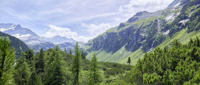
At the Hohe Tauern National Park, nature rolls out one superlative after another. The largest nature reserve in Central Europe is a stunning part of the world that is more diverse and pristine that almost anywhere else. Discovering this region on foot, under your own steam and with a small ecological footprint is a fabulous nature and hiking experience. That's what the Hohe Tauern Panorama Trail is all about. The well-signposted trail takes you along the northern side of the Salzach valley from the westernmost point of the province of Salzburg to Hüttschlag: The route is perfect for seventeen stages. Each day the long-distance hikers walk for four to seven hours. Alternative routes are available if the main routes cannot be accessed during low season due to bad weather, such as snow at high altitudes.

